Natural Disaster Risk Assessment
 14 Nov, 2023
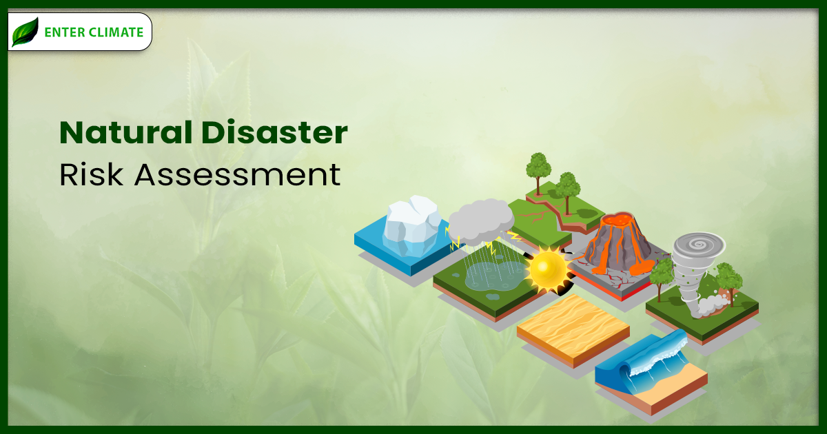
Disaster risks are increasing exponentially due to rapid urbanization, high population density, and extreme climate-related events. The Disaster Management System in India presents holistic management of disasters that includes pre-disaster prevention, mitigation, and preparedness, as well as post-disaster response, recovery, and reconstruction.
Various scientific and technical organizations of the Government of India, such as India Meteorological Department, Central Water Commission, Geological Survey of India, National Remote Sensing Centre, Indian Institute of Tropical Meteorology, Indian National Centre for Oceanic Information Services, Forest Research Institute, National Centre for Seismology, Building Materials and Technology Promotion Council, Central Research Institute for Dryland Agriculture, Central Ground Water Board, Central Pollution Control Board, Central Statistical Organisation, NITI Ayog, and National Crime Record Bureau etc. have contributed to the study of disaster management by making available their data and reports and providing valuable inputs and comments on different indices of disaster risks and resilience.
But what do you mean by natural disaster risk assessment? Natural disaster risk assessment is a qualitative or quantitative approach to determining the nature and extent of disaster risk by analysis of potential hazards and evaluation of existing exposure and vulnerability conditions that, when combined, could harm people, service, property, livelihoods, and the environment on which they rely. The identification of hazards; a review of the technical features of hazards like their intensity, location, frequency, and probability; an analysis of vulnerability and exposure, including the physical, social, health, environmental, and economic dimensions; and an evaluation of the effectiveness of current and alternative coping capacities in relation to likely risk scenarios are all part of natural disaster risk assessment.
Risk Assessment
Risk assessment of adverse effects due to major mishaps, gas tanker explosions, fire hazards, floods, cyclones, earthquakes, etc. Risk assessment marks the starting point of disaster risk management, as unless there is a clear and comprehensive understanding of the risks of disasters, subsequent tasks of reducing risks through prevention, mitigation, and preparedness cannot be accomplished effectively.
Risk assessment is dynamic, as patterns of risks are changing due to impacts of both extraneous factors like global warming, climate change (with impacts on temperature, precipitation, sea level rise, etc.), and changes in demographic patterns (numbers, age structure, dependency ratio, etc.) as well as intrinsic factors like the process of development that may either create new risks or reduce existing risks of disasters. Compounding and discounting the dynamics of risks is a continuous process and is by no means an easy task. Risk assessment is a highly specialized task that cannot be undertaken unless data on hazards, vulnerabilities, and exposures are available in different spatial and time scales, which is extremely difficult in most countries. The tasks of integrating and analyzing the data are carried out through modelling, computation, and other advanced tools of research, which are even more difficult in most situations.
Generic Indicators of Disaster Resilience
As per national and global frameworks these activities were classified and clubbed together to identify seven generic indicators of disaster resilience. These are
- Risk Assessment
- Risk Prevention and Mitigation
- Risk Governance
- Disaster Preparedness
- Disaster Response
- Disaster Relief and Rehabilitation
- Disaster Reconstruction
Thematic Areas of Risk Assessment as per World Meteorological Organization
Thematic Areas means the areas whose design, construction and operation are the Organizer’s responsibility. The application of policies and strategies for natural disaster risk assessment and reduction to prevent new disaster risk, lessen current disaster risk, and manage residual risk is known as disaster risk management. This practice helps to increase resilience and lower disaster losses. The thematic areas of Disaster Risk Assessment are-
- Observation Networks, Information Systems, Research and Forecasting
- Zoning and Mapping
- Monitoring and Warning Systems
- Hazard Risk Vulnerability Assessment
- Dissemination of Warnings, Data and Information
Road Map for Risk Assessment
National Policy on Disaster Management 2009 laid down the following road map for risk assessment: Hazard zonation, mapping, and vulnerability analysis in a multi-hazard framework will be carried out utilizing Geographic Information System (GIS)-based databases such as the National Database for Emergency Management (NDEM) and National Spatial Data Infrastructure (NSDI).
As a first step towards addressing disaster vulnerabilities, Central Ministries and Departments, National agencies, knowledge-based institutions, and DM authorities at the State and District levels need to carry out risk and vulnerability assessments of all disaster-prone areas. Hazard zonation mapping and vulnerability analysis based on GIS and remote sensing data need to mandatorily include a ground check component.
Process of National Disaster Risk Assessment
The process of assessing risks involves identifying their type and degree through the analysis of potential threats and vulnerable situations that may affect the environment, property, livelihoods, and people who are at risk. The process of National Disaster Risk Assessment is: –
Establishing Context
This step is concerned with understanding the risk management context in order to define the purpose and scope of the risk assessment.
Risk Identification
This step is concerned with a very high-level scoping of hazards, exposure, and vulnerabilities to define the direction for the rest of the assessment process. It uses the knowledge and experience of stakeholders, data on past disasters, and risk information to draw initial conclusions about the importance of a specific hazard.
Risk Analysis
This step is concerned with obtaining a more detailed understanding of the disaster risk: detailed hazard analysis, exposure analysis, vulnerability analysis, and capacity analysis. The analysis provides a brief about the interaction of a single hazard or a multi-hazard with the exposure and all dimensions of vulnerabilities (physical, environmental, social, economic, and cultural).
Risk Evaluation
This step allows for risk prioritization for the purpose of managing the risk. The multi-hazard disaster risks analyzed for likelihood and impact could be presented in different ways to facilitate the visualization and prioritization process.
Initiatives Taken by Government
Certain Initiatives have been taken for the Management of Natural Disaster. Some of them are –
Disaster Management Act, 2005
This Act provides for the effective management of disaster and for matters connected therewith or incidental thereto. It provides institutional mechanisms for drawing up and monitoring the implementation of disaster management. The Act also ensures measures by the various wings of the Government for the prevention and mitigation of disasters and prompt response to any disaster situation. The Act provides for the formation of a National Disaster Management Authority (NDMA) under the Chairmanship of the Prime Minister.
National Disaster Management Authority
The National Disaster Management Authority (NDMA) was formed on May 30, 2005, under the Chairmanship of the Prime Minister. Following the enactment of the Disaster Management Act of 2005, the NDMA was formally constituted in accordance with Section-3(1) of the Disaster Management Act of 2005 on 27 September 2006, with the Prime Minister as its Chairperson and other nine members, and one such member to be designated as Vice Chairperson.
The NDMA has been made responsible for establishing disaster management policies and guidelines that various Ministries, Departments of the Indian Government, and State governments will adhere to when implementing disaster risk reduction measures. It has also laid down guidelines to be followed by the State Authorities in drawing up the State Plans and taking such measures for the management of disasters, Details of these responsibilities are given as follows:
- Lay down policies on disaster management.
- Approval of the National Plan
- Approval of plans created by Indian Ministries and Departments in compliance with the National Plan
- Establish the rules that the State Authorities must adhere to when creating the State Plan.
Establish standards that the various Ministries and Departments of the Indian Government must adhere to this in order to incorporate disaster prevention or effect mitigation measures into their development plans and initiatives.
- Organize the execution and enforcement of disaster management policy and plan.
- Suggest allocating funds for the aim of mitigating
- Offer assistance to other nations impacted by significant calamities, as determined by the Central Government.
- Take whatever additional steps it deems necessary to prevent disasters, mitigate their effects, increase preparedness for threatening situations, or build capacity to deal with disasters.
- Specify the general rules and regulations that will govern the National Institute of Disaster Management’s operations.
National Policy on Disaster Management (NPDM) 2009
The policy addresses every aspect of disaster management, which will be including institutional and legal arrangements, mitigation and preparedness, financial arrangements, disaster prevention, techno-legal regime, response, relief and rehabilitation, recovery and reconstruction, capacity development, knowledge management, research, and development.
National Institute of Disaster Management
The National Institute of Disaster Management, initiated as per the Disaster Management Act 2005, has been entrusted with the nodal national responsibility for capacity building, human resource development, research, training, documentation, and policy advocacy in the field of disaster management.
Function of the National Institute of Disaster Management
- Development of training modules, undertaking research and documentation in disaster management, and organizing training programs
- Formulation and implementation of a comprehensive human resource development plan that would cover all aspects of disaster management
National Disaster Management (Amendment) Act 2021
The provision for Claims for Compensation or Assistance was added under this Act, and it was mentioned that any person who has sustained any damage due to a disaster may request the Government for assistance provided that every request for assistance shall be received by the Government within 12 months of the date of the disaster. The process for receiving and assessing “Requests for Assistance” is provided under the Climate Change and Disaster Survival Fund Act.
Challenges Faced During Natural Disaster Risk Assessment
Assessing natural disaster risk assessment in India presents several challenges:
Data Accuracy
Limited availability and accuracy of historical data on disasters hinder precise natural disaster risk assessments. Inaccurate predictions and planning can result from incomplete or outdated data.
Resource Constraints
Limited resources, both financial and technological, pose challenges in implementing advanced technologies for accurate natural disaster risk assessment and early warning systems.
Climate Change Impact
Climate change has altered the traditional patterns of many disasters, making it challenging to predict their frequency and intensity accurately.
Coordination Challenges
Effective coordination among various agencies, government bodies, and communities is crucial during disasters. Challenges in coordination can lead to delays and inefficiencies in response efforts.
Conclusion
Natural disaster risk assessment in India is a complex and multifaceted process, fraught with challenges. The country’s diverse geography, coupled with a rapid growth in population and the impacts of climate change, makes it imperative to develop robust and adaptable assessment methodologies. To enhance disaster preparedness and response, there needs to be a concerted effort to improve data collection, invest in advanced technologies, and raise awareness among the population. With collective efforts and a proactive approach, India can mitigate the risks posed by natural disasters and enhance the safety and well-being of its citizens.
FAQs
Natural disaster risk assessment involves evaluation of the potential impact of natural disasters like earthquakes, floods, cyclones, and droughts on a specific region, in this case, India. It assesses the vulnerability, exposure, and hazard of the area to various natural disasters.
India is prone to various natural disasters due to its geographical location and climatic conditions. Assessing these risks helps in disaster preparedness, planning, and mitigation efforts, which can save lives, property, and resources.
Coastal regions are vulnerable to cyclones, while northern regions face risks of earthquakes. Floods are common in plains and hilly areas. Each region has its unique challenges in terms of natural disasters.
Risk assessment in India involves collecting data on historical disasters, analyzing geographical and climatic factors, assessing vulnerabilities of communities and infrastructure, and using advanced technology such as GIS (Geographical Information Systems) for mapping and modelling.
Based on assessments, disaster management plans are formulated. These include building infrastructure to withstand disasters, early warning systems, evacuation plans, and public awareness campaigns to educate people on disaster preparedness.
Individuals can prepare by staying informed about local risks, having emergency kits, creating a family emergency plan, and understanding evacuation routes. Additionally, communities should have mock drills and awareness programs.
The Government conducts natural disaster risk assessment, formulates policies, invests in infrastructure, and provides early warning systems. It also coordinates disaster response efforts and conducts relief operations in affected areas.
Yes, climate change is a significant factor in assessing natural disaster risks. Natural disaster frequency and intensity may be impacted by an increase in extreme weather events brought on by rising global temperatures. These changes are factored into natural disaster risk assessment.
After a disaster, communities should follow emergency plans, evacuate, if necessary, provide first aid and medical help to the injured, and cooperate with local authorities. Post-disaster, rebuilding efforts and community support are crucial for recovery.
Technology like remote sensing, Geographic Information Systems (GIS), and machine learning algorithms can provide real-time data, predictive modelling, and early warnings. These tools enhance the accuracy of natural disaster risk assessment and help in better disaster preparedness.

